
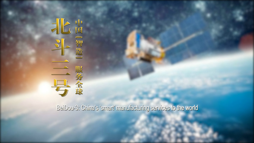
北斗三號(hào):中國(guó)“智”造 服務(wù)全球
|
|
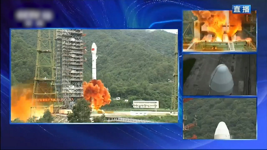
6月23日,中國(guó)北斗三號(hào)衛(wèi)星導(dǎo)航系統(tǒng)最后一顆組網(wǎng)衛(wèi)星在西昌衛(wèi)星發(fā)射中心成功發(fā)射。這顆“收官之星”,意味著北斗三號(hào)星座部署全面完成。
On June 23, the last networking satellite of China's BeiDou-3 Navigation Satellite System was successfully launched from Xichang Satellite Launch Center. This “final satellite” means that the deployment of BeiDou-3 has been completed in an all-round way.
20多年來(lái),整個(gè)北斗系統(tǒng)經(jīng)歷了三步走階段:
In the past 20 years, the BeiDou Navigation Satellite System (BDS) has completed three stages:
第一階段,2000年,建成北斗一號(hào)系統(tǒng),向中國(guó)提供服務(wù);
In 2000, in its first stage, BeiDou-1 Navigation Satellite System was built to provide services to China;
第二階段,2012年,建成北斗二號(hào)系統(tǒng),向亞太地區(qū)提供服務(wù);
In 2012, in its second stage, BeiDou-2 Navigation Satellite System was built to provide services to the Asia Pacific region;
第三階段,到2020年,完成30顆衛(wèi)星發(fā)射組網(wǎng),全面建成北斗三號(hào)系統(tǒng),向全球提供服務(wù)。
In its third phase in 2020, 30 satellites are launched and the satellite network will be completed, and BeiDou-3 Navigation Satellite System will be fully equipped to provide services to the world.
作為中國(guó)自主建設(shè)、獨(dú)立運(yùn)行的全球衛(wèi)星導(dǎo)航系統(tǒng),北斗衛(wèi)星導(dǎo)航系統(tǒng)(BDS)與美國(guó)的GPS、俄羅斯的GLONASS、歐盟的GALILEO并稱為全球四大衛(wèi)星導(dǎo)航系統(tǒng)。而與這其他幾個(gè)衛(wèi)星導(dǎo)航系統(tǒng)相比,北斗三號(hào)還有不少優(yōu)點(diǎn),例如高軌衛(wèi)星更多,因此抗遮擋能力強(qiáng),尤其在低緯度地區(qū)性能特點(diǎn)更為明顯。
As a global satellite navigation system independently built and operated by China, BDS, GPS of the United States, GLONASS of Russia and Galileo of the European Union are called the four major global satellite navigation systems. Compared with these other satellite navigation systems, BDS has many advantages, such as more high orbit satellites, which gives it a strong anti-blocking ability, especially in low latitude areas.
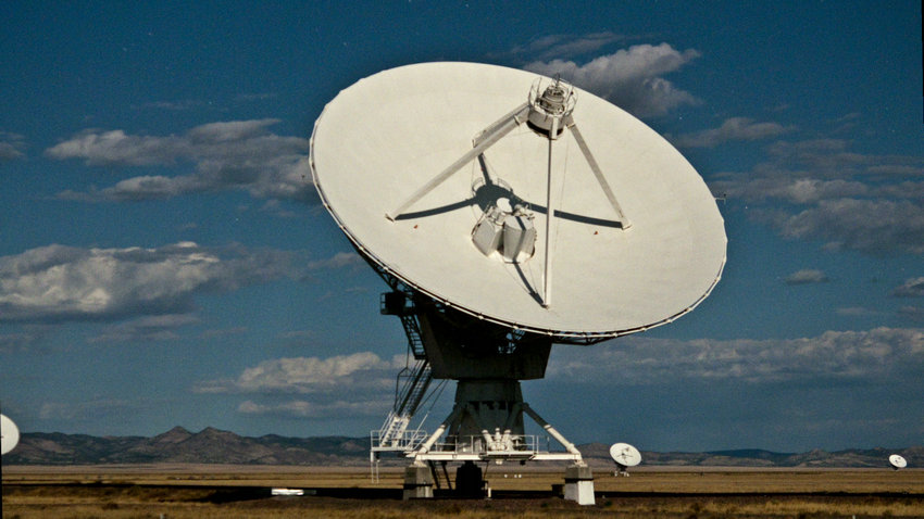
配合北斗地基增強(qiáng)系統(tǒng),北斗三號(hào)系統(tǒng)可以在覆蓋范圍內(nèi)實(shí)現(xiàn)米級(jí)、分米級(jí)、厘米級(jí)的高精度服務(wù)。當(dāng)定位精度達(dá)到厘米級(jí)時(shí),不僅能服務(wù)汽車導(dǎo)航和自動(dòng)駕駛,還有助于無(wú)人機(jī)送貨,應(yīng)用領(lǐng)域進(jìn)一步拓寬。
With the BeiDou Ground-based Augmentation System, BeiDou-3 Navigation Satellite System can achieve high-precision service at meter level, decimeter level and centimeter level within its coverage area. When the positioning accuracy reaches centimeter level, it can not only serve vehicle navigation and automatic driving, but also help UAV delivery and further expand the application field.
未來(lái),北斗導(dǎo)航系統(tǒng)在以農(nóng)業(yè)、交通運(yùn)輸為代表的重點(diǎn)領(lǐng)域中將會(huì)得到大力推廣,包括精準(zhǔn)農(nóng)業(yè)、高精度測(cè)繪、智慧城市、5G基站授時(shí)等。
In the future, BDS will be vigorously promoted in key fields such as agriculture and transportation, including precision agriculture, high-precision mapping, smart city, 5G base station timing service, etc.
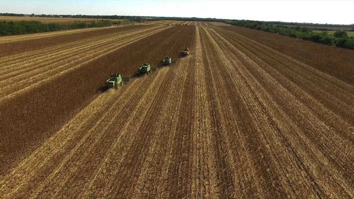
例如在農(nóng)業(yè)方面,基于北斗的農(nóng)機(jī)作業(yè)監(jiān)管平臺(tái)可實(shí)現(xiàn)農(nóng)機(jī)遠(yuǎn)程管理與精準(zhǔn)作業(yè),農(nóng)業(yè)機(jī)械無(wú)人駕駛等應(yīng)用對(duì)高精度北斗服務(wù)需求強(qiáng)烈;在救災(zāi)減災(zāi)方面,基于北斗系統(tǒng)的導(dǎo)航、定位、短報(bào)文通信功能,可以顯著提高災(zāi)害應(yīng)急救援的快速反應(yīng)能力和決策能力。
For example, in the aspect of agriculture, the agricultural machinery operation supervision platform based on BDS can realize the remote management and precise operation of agricultural machinery, and the application of agricultural machinery such as unmanned driving could generate a strong demand for high-precision BDS service; in the aspect of disaster relief and disaster mitigation, the navigation, positioning and short message communication functions based on BDS can significantly improve the quick response ability and decision-making ability in disaster rescue operations.

現(xiàn)在,無(wú)論在世界任何角落,北斗三號(hào)都會(huì)向你提供高精度、高可靠、高保險(xiǎn)、多功能的服務(wù)。北斗三號(hào)作為中國(guó)“智”造,將服務(wù)全球,造福人類。
Now, BeiDou-3 Navigation Satellite System will provide high-precision, high reliability, high insurance and multi-functional services in any corner of the world. The development of the ‘smart’ BeiDou-3 Navigation Satellite System will serve the world and benefit mankind.
策劃:孫磊 后期:孫磊